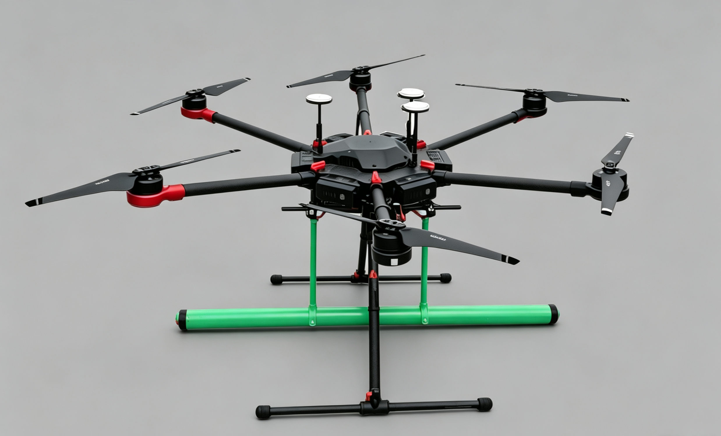
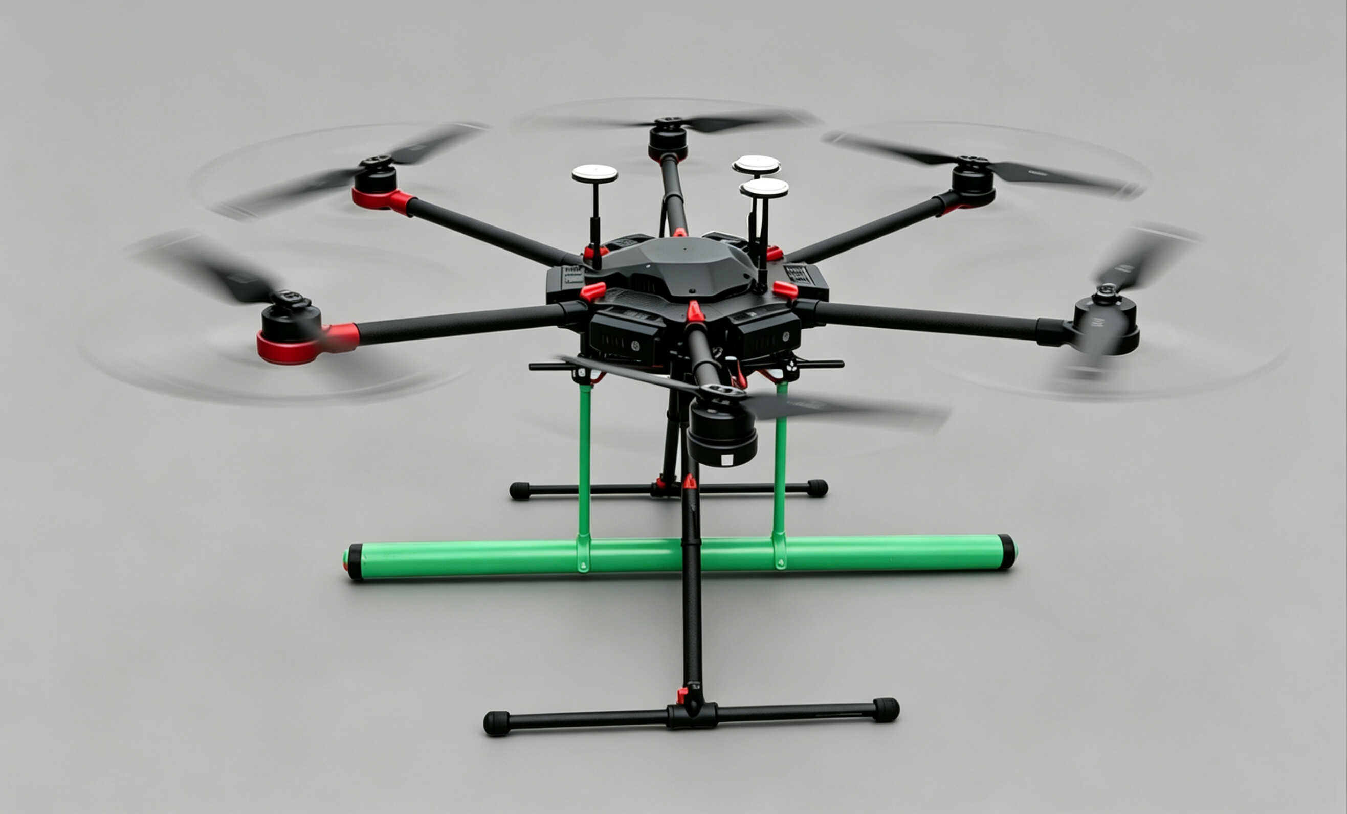
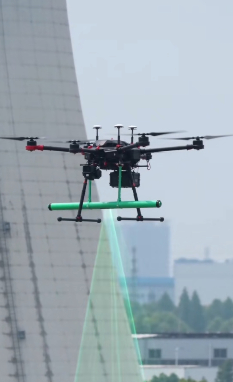
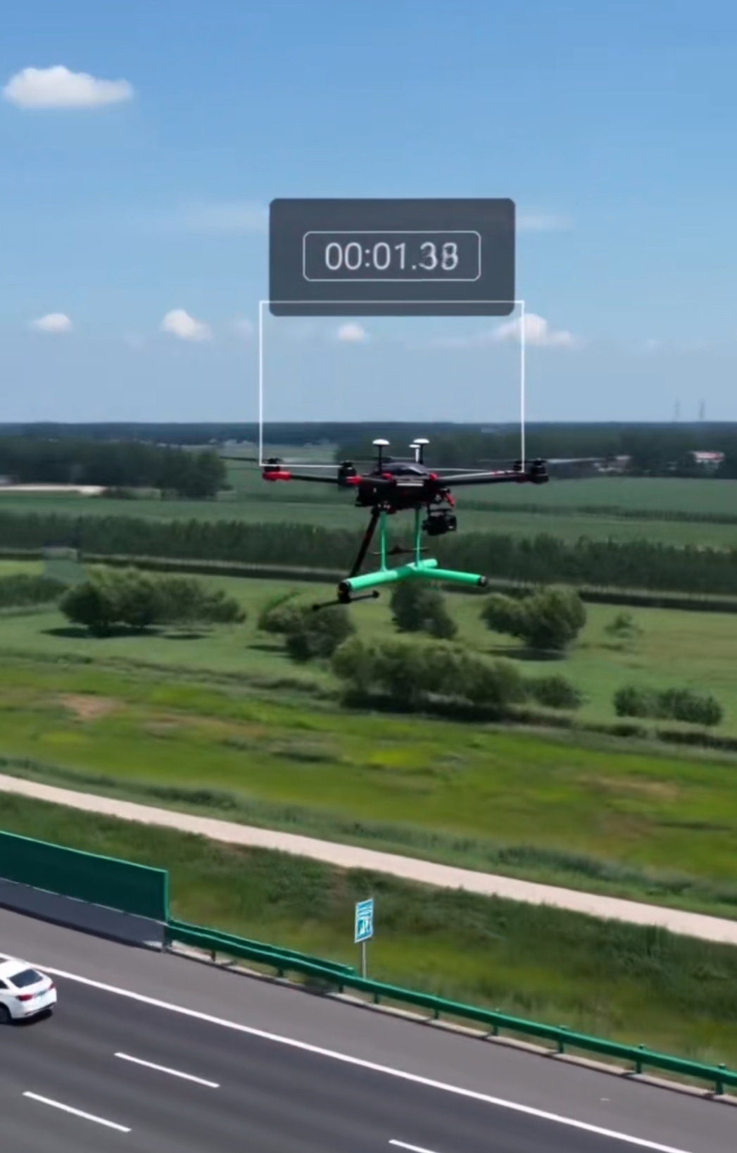
Drone Ground-Penetrating Radar SL-UVAGPR
Model:SL-UVAGPR
Product Features
Technical Specifications
| Drone Platform | Compatible with multiple types of UAV platforms |
| Radar Payload | Ground-penetrating radar payload of 400MHz and above |
| Battery life | ≥45 minutes (no-load) |
| Maximum Speed | 65km/h |
| Time Window Range | 0-150ns |
| Sample Points | 512-8192 |
| Measurement Method | Spot metering, distance measurement, continuous |
| Data transmission | HD Digital Video Transmission |
| Display mode | Pseudocolor image; Curve chart |
| Peripheral Sync | Video |
Application Scenarios
Engineering Geological Survey: Detection of underground geological hazards such as piping in river embankments and dam foundations, karst formations, sinkholes, underground voids, fractured zones, ice layer thickness, and abandoned coal mine areas. Services also include geological stratification analysis, geological and environmental assessment, and evaluation of foundation treatment effectiveness.
Underground Utility and Obstacle Detection: Mapping underground utility networks; detecting civil air defense structures; identifying obstacles during pile foundation construction; archaeological applications (locating ancient tombs, city walls, roads, and other sites); forensic investigations by law enforcement agencies (rapidly locating buried human remains, firearms, knives, drugs, and other evidence).
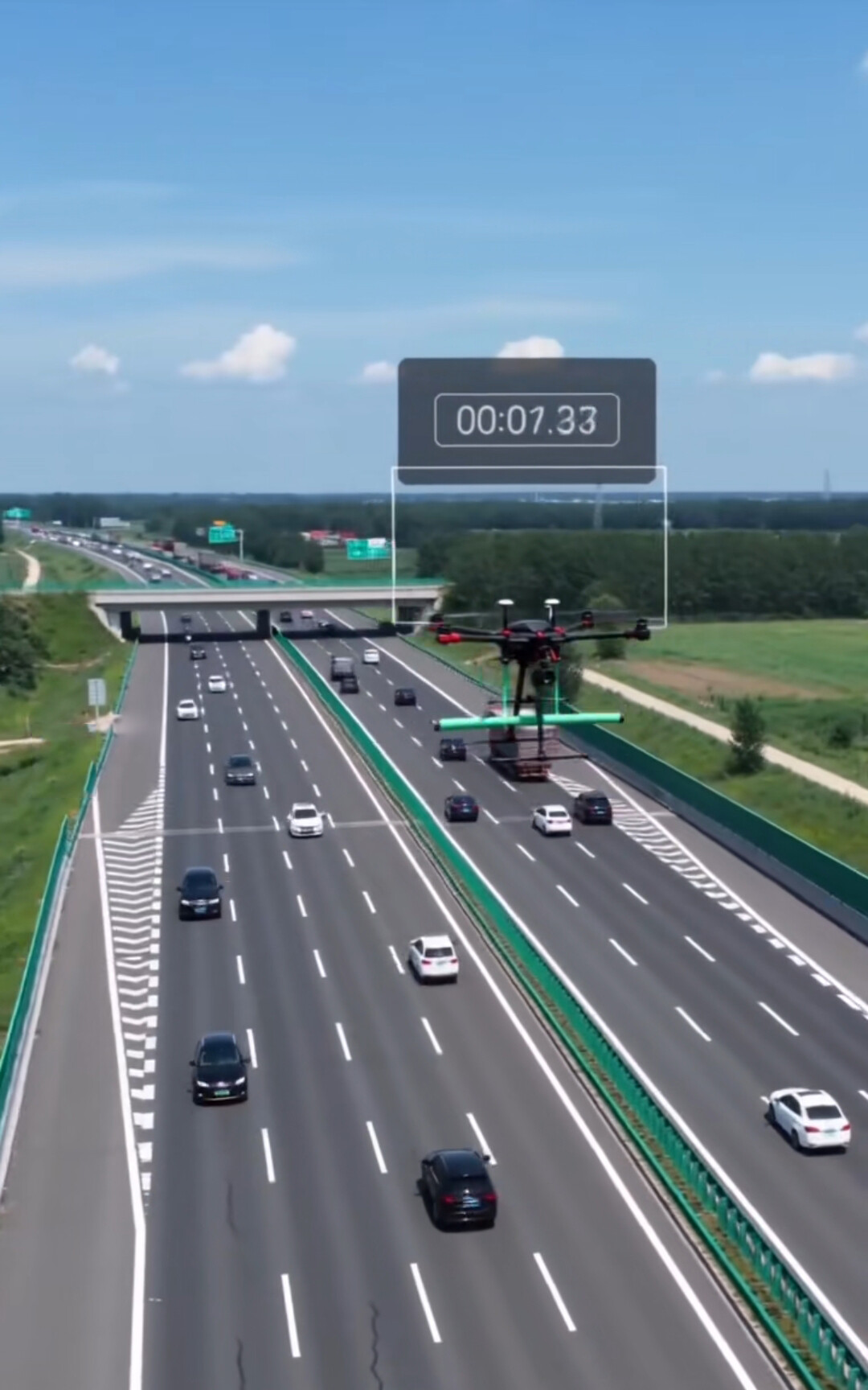
Road and Bridge Inspection: Investigation of adverse geological bodies during road or bridge site selection; quality inspection during highway construction; detection of pavement layers, base courses, subbase courses, subgrade layers, and weak zones in highways; inspection of structural layer thickness, cracks, and subgrade defects; positioning of reinforcing bars and steel strands; concrete defect detection.
Environmental Monitoring: Used to detect landfill leaks, map the distribution of subsurface waste, and assess contamination extent in soil and groundwater. By monitoring subsurface conditions, it provides data support for environmental protection and pollution remediation, aiding in the development of scientifically sound restoration plans.
Typical Use Cases
Mine Exploration
Rapid large-area scanning to detect ore vein trends and geological structures.
Environmental Investigation
Unmanned operations in contaminated areas to ensure personnel safety
Disaster Assessment
Rapid post-disaster survey to assess geological changes and potential hazards
Need a detailed technical proposal?
Contact a technical consultant to get detailed product information and customized solutions.
Get a Quote